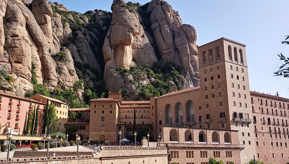
Montserrat - Castellgalí
DESCRIPTION: The first part of the section is along the pedestrian side of the access road to the Monastery until reaching Santa Cecilia. Take a wide track until you reach a fork that marks the GR4, the path becomes a steep downhill path (without any danger) and we return to the previous track that we will follow until the entrance to the Urb. Can Prat.
We cross the entire urbanization and turn towards Pla de Masroig along a wide dirt track with very good views of Montserrat.
We go down to the torrent del Carner (trail) and take a wide track again at the height of Cal Ticó until we reach the church of Sant Jaume de Castellbell. We continue forward and go out onto the local road to cross the Fassina bridge, then we turn left towards the Granges de Can Beu on a very wide dirt track. It should be noted that we are following the route of the Camí de Sant Jaume and the Camí Ignasià, we will find signposts.
We will finally arrive in Castellgalí after passing through the "Balçamuller quarry" and we will go through the streets of the urban area to the parish of Sant Miquel.
It is an easy section both in terms of technical aspects and the distance covered. You can enjoy very good views of Montserrat and the entire surrounding area, which is worth discovering.
INTERESTING INFORMATION
ACCESS
FGC (Monistrol - Rack)
RENFE
MONTSERRAT
Hermitage of St. Cecilia
Hermitage of Sant Jaume Castellbell
CASTELLGALÍ
DIFFERENCE

DEPARTURE HEIGHT: 824 meters.
HEIGHT ARRIVED: 171 meters.
ACCUMULATED ASCENT: 277 mts.
CUMULATIVE DESCENT: 946 mts.
PENDING: - 4.29 %

Monestir de Montserrat

Monestir de Montserrat

Parròquia de Sant Miquel de Castellgalí

Monestir de Montserrat

